Medieval map may show evidence of Wales’ Atlantis
Islands may have been submerged by rising seas in wake of last Ice Age, researchers suggest

Get the free Morning Headlines email for news from our reporters across the world
Sign up to our free Morning Headlines email
The oldest surviving map of Great Britain could provide evidence of a lost land, enshrined in legend for centuries, dubbed the Welsh Atlantis.
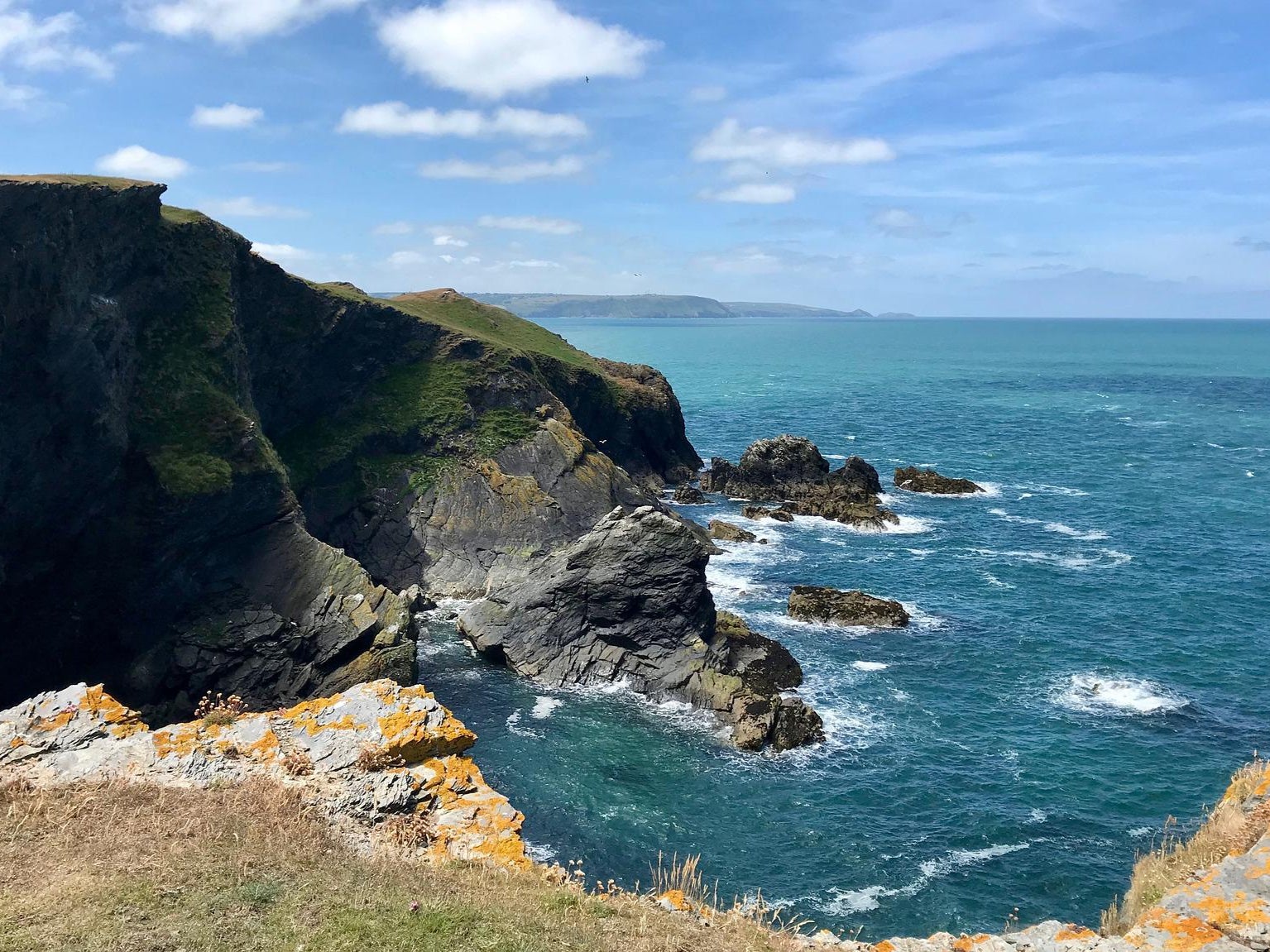
For more than 700 years, tales have been written of the missing land at Cardigan Bay, which according to the legend of Cantre'r Gwaelod was swallowed by the sea after the priestess of a fairy well allowed it to overflow.
Now, two researchers believe they have found historical evidence of two islands once existing in that location, on a map of the British Isles thought to date back to the 13th century.
The two islands, each roughly a quarter the size of Anglesey, are depicted on the Gough Map, a document which has survived from the Middle Ages and is held in Oxford University’s Bodleian library.
According to the map, one of the islands was situated between Aberystwyth and Aberdovey, with the other closer to Barmouth in the north.
The discovery was made by Simon Haslett, an honorary professor of physical geography at Swansea University who went in search of lost islands in Cardigan Bay while a visiting fellow at Oxford, and David Willis, who is Jesus Professor of Celtic at the latter university.
“The Gough Map is extraordinarily accurate considering the surveying tools they would have had at their disposal at that time,” Professor Haslett told the BBC.
“The two islands are clearly marked and may corroborate contemporary accounts of a lost land mentioned in the Black Book of Carmarthen”, a manuscript thought to date back to around 1250 AD, which experts believe is key to cementing the story of the lost land in Welsh myth.
In addition to the Gough Map, coordinates recorded by Claudius Ptolemy – the 2nd century Roman known as the “father of cartography” – indicate that the Welsh coastline at that time may have been some 8 miles further west than it is today, said Prof Haslett.
In findings published by the journal Atlantic Geoscience, the two academics suggested the islands are likely to be the remnants of a low-lying landscape underlain by soft glacial deposits laid down some 10,000 years ago during the last Ice Age, which has since been dissected by rivers and truncated by the sea.
Their study proposes that a landscape may once have existed there some 30 metres above current sea levels, before eventually dissecting into islands – the remaining two of which eventually disappeared by the 16th century.
This explanation could shine a light on some of the local folklore surrounding the myth, Prof Haslett suggested – with legends of being able to walk between lands now separated by sea potentially a folk memory stemming from rising sea levels.
“However, legends of sudden inundation, such as in the case Cantre'r Gwaelod, might be more likely to be recalling sea floods and erosion, either by storms or tsunami, that may have forced the population to abandon living along such vulnerable coasts,” he said.
Prof Haslett explained that the erosion of any islands off the Ceredigion coast “would have released boulders that are likely to have contributed to the accumulation of the distinctive stone structures known locally as sarns”.
Dr Juliette Wood, a Welsh folklore expert at Cardiff University who was not involved in the research, told the BBC that she believes these sarns may have played a key role in perpetuating the legend of Cantre’r Gwaelod.
“I’ve seen the sarns myself, and they are incredibly convincing,” Dr Wood said. “You could easily believe that their uniform structure was once part of a lost civilisation, however the catch is that most of these stories don’t come back into fashion until the 18th Century.
“I call it re-enchanting the land, the romanticists amongst the Celtic population want to find meaning and a belief system to make sense of the current hardships.”
Dr Wood added: “Rather than saying that the discovery of the island proves the folklore, I’d say that the proof is coincidental, and that the two truths can exist independently of each other.”
In addition to their potential mythological significance, Prof Haslett suggested that the findings could also boost understanding of potential coastal processes in the region, where he said some towns vulnerable to climate and sea-level change are “likely to result in some of the first climate change refugees in the UK”.
Subscribe to Independent Premium to bookmark this article
Want to bookmark your favourite articles and stories to read or reference later? Start your Independent Premium subscription today.
Join our commenting forum
Join thought-provoking conversations, follow other Independent readers and see their replies